Body
Image

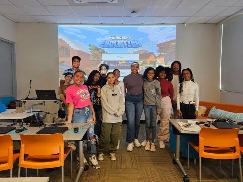
Stimulating GIS Careers through Geospatial Explorers
This project builds on the successful Geospatial Semester (GSS) high school course to explore how to infuse a powerful STEM tool into Career and Technical Education (CTE), computer science and social sciences courses in Chicago Public Schools (CPS) and schools in Puerto Rico. Our work builds on the core strengths of GSS by providing students with a robust introduction to GIS tools using ArcGIS Online, which is available for free to schools and the lessons are designed to be accessible for people new to GIS. Through design-based implementation research, we have customized the project supports to align to various content areas and the context of CPS and Puerto Rico. For CTE business, students have been conducting spatial market analyses to develop business plans that identify possible business locations that have high populations of their target demographic groups. For computer science, students are developing computational data analysis skills to investigate local issues, like food deserts. For AP US History, students are examining history from a spatial perspective, such as analyzing historical human migration patterns.
Pillar 1: Innovative Use of Technologies in Learning and Teaching
At the core of the GSS project is support for student spatial analyses using ArcGIS online, which is the most widely-used professional GIS tool. ESRI provides ArcGIS licenses for free to K12 students. The GSS project has co-designed lessons with teachers to provide structured scaffolding that helps students develop basic GIS skills and through those skills, students are able to investigate a variety of personally-relevant topics. We are also exploring the use of an AI chatbot that can guide students’ use of ArcGIS.
Pillar 2: Partnerships for Career and Workforce Preparation.
GIS is one of the fastest growing segments within the IT field. Students have the opportunity to develop their spatial reasoning abilities, a key skill for STEM career success. The GSS project has developed career profiles of 8 GIS professionals in Chicago, published through Futurum. Teachers have incorporated this guide into their GIS lessons to give students a vision of careers in GIS. Our research has shown that students' who were exposed to GIS through the career guides had higher expectancies of success in GIS.
Pillar 3: Strategies for Equity in STEM Education
Through iterative co-design between teachers and researchers, 92% of the GIS-infused lessons were judged to be culturally responsive. Our work serves diverse CPS students—in our most recent GIS-infused unit, 33% of students identified as black and 23% identified as Latinx. Students’ perceptions of equity in their GIS-infused classes predicted expectancy of success in computer science (CS) and interest in taking more CS courses. In addition, 100% of the students in Puerto Rico identify as Hispanic.
Discipline(s)
Computer and informational technology science
Data Science
Other
Target Gradespan(s)
High school (9-12)
Target Participant(s)
Youth / students
Educators
Project Setting(s)
Formal Education
Category
SPrEaD